
Lidar vs Photogrammetry: Which is Right for YourWorksite?
Apr 02, 2025When it comes to aerial surveying, both LiDARand photogrammetry offer powerful tools for geospatial data collection.However, photogrammetry has rapidly gained traction due to itscost-effectiveness, ease of use, and versatility across industries like construction,mining, agriculture, and infrastructure development. Let’s dive deeper into whyphotogrammetry is often the more practical and efficient choice for mostprojects, even when compared to the high precision but expensive LiDARtechnology.
This article explores what LiDAR mapping is, whatphotogrammetry is, their differences, and why photogrammetry surveying is oftenthe more efficient and cost-effective choice for most applications.
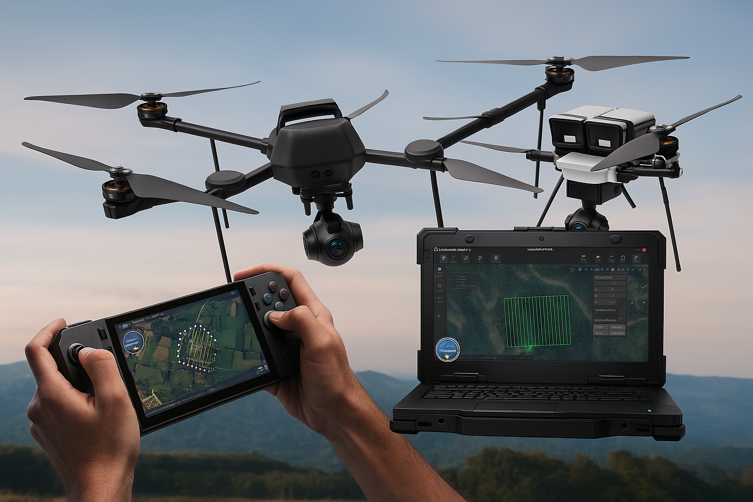
Photogrammetry is a method of collecting 3D measurementsfrom overlapping 2D images taken by drones. These images are processed usingadvanced software to create accurate, georeferenced 3D models and maps.Photogrammetry offers a fast, cost-effective solution, and is accessible tobusinesses of all sizes due to its lower upfront costs and user-friendlysoftware tools.
Advantages of Photogrammetry:
Why Photogrammetry is Often the Better Choice
While LiDAR certainly has its place, especially in complexterrain where precise elevation data is needed, photogrammetry shines inversatility and cost-effectiveness. Here's why:
1. Cost-Effective for All Projects
Photogrammetry is the go-to option for businesses withlimited budgets. The equipment is significantly cheaper drones with standardcameras are far more affordable than specialized LiDAR sensors. Plus, dataprocessing is faster and requires less training, meaning businesses can savetime and money.
2. Perfect for 3D Mapping and Visual Inspections
While LiDAR may be better for dense forests or environmentswhere penetration through vegetation is necessary, photogrammetry excels ingenerating detailed 3D models, orthomosaics, and contour maps. These modelsprovide valuable visual insights for site inspections, design validation, andvolume calculations—making photogrammetry the top choice for industries wherehigh-resolution images and detailed maps are needed.
3. Versatility Across Industries
From construction and urban planning to mining andagriculture, photogrammetry’s versatility allows it to be applied to nearlyevery industry. It provides accurate data without the need for complexequipment, making it more adaptable to various use cases. Whether you needdetailed site plans, crop health analysis, or slope stability studies,photogrammetry offers the flexibility to cover it all.
4. Efficiency and Ease of Use
Photogrammetry requires much less specialized knowledge thanLiDAR. With modern automated drone systems and cloud-based processing, userscan quickly and easily generate 3D models and maps with minimal training.Photogrammetry software is often designed to be user-friendly, whichaccelerates the learning curve and reduces the need for technical expertise.
What Is LiDAR Mapping?
LiDAR is a remote sensing technology that uses laser pulsesto measure distances and create high-accuracy 3D maps of terrain andstructures. A LiDAR sensor emits laser beams toward the ground, and the time ittakes for the pulses to reflect, is used to calculate distances. Thesemeasurements create a dense point cloud, which is then processed into a digitalterrain model (DTM) or digital elevation model (DEM).
Advantages of LiDAR:
Limitations of LiDAR:
Applications of Photogrammetry in Surveying and Mapping
Photogrammetry has emerged as the preferred choice forvarious industries due to its accessibility, affordability, and ability togenerate detailed, visually rich maps.
1. Construction Site Monitoring
Construction projects require real-time site monitoring totrack progress, optimize resource allocation, and ensure safety compliance .Photogrammetry surveying provides high-resolution orthomosaics and 3D models,allowing project managers to:
2. Mining Operations
Accurate topographic mapping is essential for mine planning and resource estimation. Drone photogrammetry in mining enables:
3. Infrastructure and Urban Planning
For urban development projects, photogrammetry provides detailed land surveys to:
4. Agriculture and Land Management
Photogrammetry plays a crucial role in precisionagriculture, helping farmers optimize crop yield and land utilization through:
5. Environmental Monitoring and Disaster Response
Photogrammetry provides critical data for tracking environmental changes and assessing disaster impact. Key applications include:
LiDAR vs. Photogrammetry Accuracy: Which One to Choose?
The accuracy of LiDAR vs. photogrammetry depends on several factors, including terrain conditions and project requirements.
Given the advancements in survey photogrammetry software,photogrammetry remains the preferred solution for most industries, offeringscalability, affordability, and ease of use.
The Future of Photogrammetry and Drone Mapping
The evolution of drone technology and advancedphotogrammetry software has made aerial mapping more accessible than ever.Improvements in AI-driven automation, cloud-based processing, and computervision algorithms are enhancing photogrammetry’s accuracy, efficiency, andreal-world applications.
With the growing adoption of drones in industry, businessesare leveraging photogrammetry for faster decision-making, improved efficiency,and reduced operational costs. As drone surveying technology advances,photogrammetry is set to play a dominant role in geospatial data collection andanalysis.
While LiDAR may be ideal for projects that require preciseelevation data in complex terrains, photogrammetry offers a practical,cost-effective, and versatile solution for most surveying and mapping tasks.From construction to agriculture to urban planning, photogrammetry providesbusinesses with high-resolution, detailed models that can be processed quickly,and without the need for expensive hardware.
In industries where both visual data and efficient workflowsare key, photogrammetry is often the superior choice, and with the continuousevolution of drone technology, its capabilities will only continue to expand.
By investing in advanced photogrammetry solutions likeSkydeck by Asteria Aerospace, businesses can unlock cost-effective, scalable,and highly accurate surveying capabilities.